Facts of the Day:
Date: 28/July/2002
From: Kirkwall
Via: Durness
To: Kirkwall
Miles: 53
Midges: 500 (Estimate)
Weather: Rain moving in...
Mood: disappointed, improving later
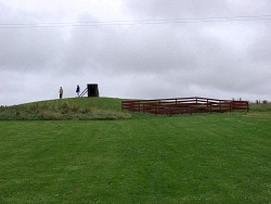 The day had started with brilliant sunshine when I went for my morning run. But then it went downhill: Clouds moved in quickly and by the time I had finished breakfast it started to rain. Hoping that it would improve again I left for the East Mainland nevertheless. My first stop was Mine Howe in the Tankerness district. Mine Howe was first opened in 1946, but then forgotten about until 1999
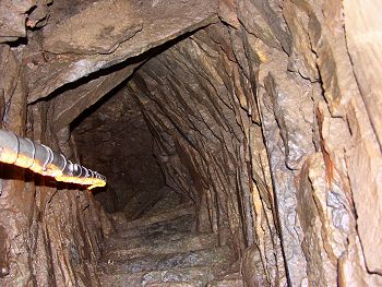
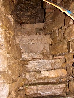 when it was reopened by local farmer Douglas Paterson. What he found was a very interesting structure, still not fully explained what it was used for. Two pairs of stairs with a total of 29 steps lead down to three chambers. Wearing a hard hat (provided) you are allowed to descend the steps to look at the structure and form your own thoughts about what it might have been used for. Further excavation will take place in the vicinity soon to learn more about the surrounding area and may be find out more what Mine Howe might have been used for. When I had completed my visit the rain had not stopped, instead it was even heavier than before. There was no point to continue further east, so I returned to the guest house where I just read, slept a bit and even answered a few emails. Just when I thought the afternoon was going to be a complete washout the rain stopped and it brightened up slightly at around 16:30...
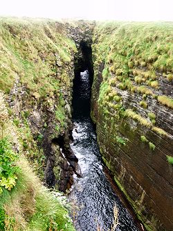
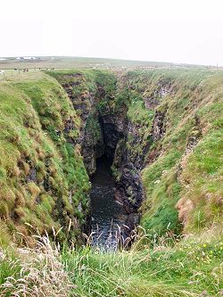 I decided to leave again and head for the Mullhead Nature Reserve on Deerness. Only a short distance from the car park is The Gloup, a collapsed sea cave. The interesting part about it is that not the whole cave collapsed, but only the end of it. This leaves a covered part at the seaward end, almost like a bridge. You can just see the light shine through the tunnel on the left picture. It is possible to enter The Gloup by boat, although I didn't do this (and didn't see anyone doing it). From here I continued along the coast to the Brough of Deernees, about half a mile from The Gloup. It is only accessible by a narrow track and almost cut off at high tides (at least that's what the guidebook says, difficult to judge due to low tide when I was there).
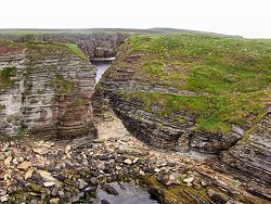
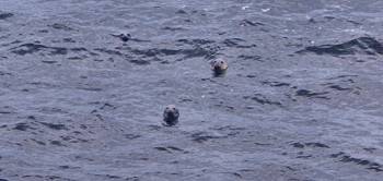
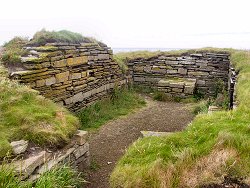 The historians seem to be divided about the settlements, although the chapel has been identified as Christian dating back to the 10th century. I walked around a little bit and then stopped for a while on the cliffs as there were several seals swimmming in the sea just below, probably trying to find out what the human was doing up there. I think I saw a total of about 4 or 5, although I only managed to get 3 on one picture. My best attempts below:
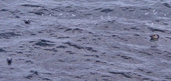
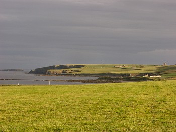
I continued my walk to Mull Head, just enjoying the walk and the views. Over the west some clear sky started to show, even allowing for the some sunshine early in the evening. I had a nice walk for about 2 hours until returning to my car, the day saved after all the rain earlier.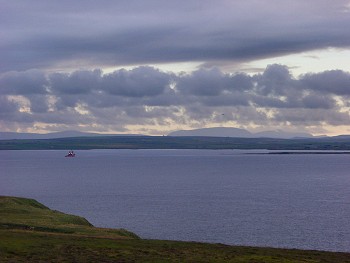
Advertising section:
