Facts of the Day:
Date: 26/July/2002
From: Kirkwall
Via: South Ronaldsay
To: Kirkwall
Miles: 66
Midges: 20 (Estimate)
Weather: Mostly sunny
Mood: Good but tired
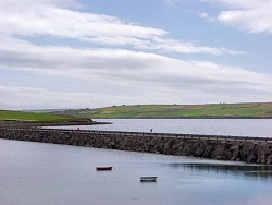 After the haircut I was ready to explore other parts of Orkney. The weather was still quite nice, even though some clouds were building up again. I decided to drive south to Holm and later to South Ronaldsay. The mainland is linked to South Ronaldsay via four causeways known as the Churchill Barriers or Churchill Causeways. These were built during World War II as protection against U-boat attacks against the British fleet in Scapa Flow.
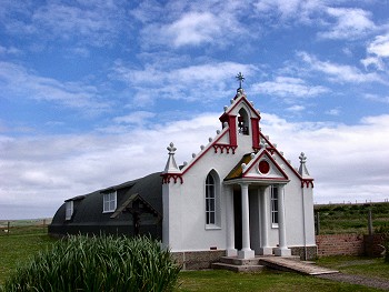
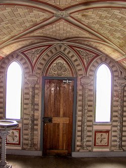 A very large part of the workforce needed to built the barriers were 1200 Italian Prisoners of War. They left behind a very nice place, the Italian Chapel on Lamb Holm. Most of the Italian POW were held in special camps on Lamb Holm. They were given permission to convert one of the Nissen Huts to a chapel, using mainly scrap materials to build it. While it looks fairly plain from the outside (apart from the facade), the interiors are remarkable.
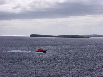
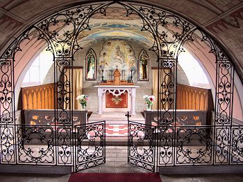 All the decoration is painted, including what looks like stonework. Other materials used were concrete and parts of rusting blockships. Its principal architect was Domenico Chiocchetti, who returned in 1960 to restore the chapel. I was amazed what you can do with very little material and lots of creativity, I can wholeheartedly recommend a visit to this place. From here I drove on to South Ronaldsay, where past St Margaret's Hope I went to Hoxa Head. At Hoxa Head you can walk to visit the remains of coastal batteries from two World Wars and have a very good view of Scapa Flow and over to Hoy. Looking around the old coastal batteries I had an interesting experience: I entered one of the buildings and on leaving it through another exit I noticed a sign "Danger! These buildings could collapse at any moment. Do not enter". Thank you for telling me that now, it didn't say that on the other side... The lifeboat was coming in giving me the opportunity to take a nice picture with Switha and the setting sun in the background. A few impressions below:
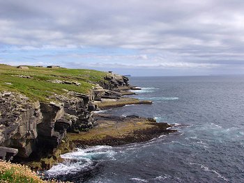
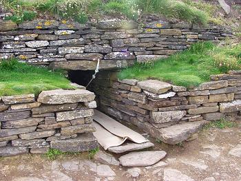
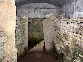
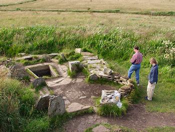 The last place I visited for the day was the "Tomb of the Eagles". Local farmer Ronald Simpson of Liddle discovered a Stone Age burial chamber and a broze age home and now with his family runs a little museum in a hands on manner. First you can see and touch some of the findings, then visit the two sites. Ronald himself will show you the Bronze Age House (at least he did it when I was there). You can then walk over to the Stone Age burial chamber. This is called Tomb of the Eagles because of the findings of sea eagles talons in the tomb, thought to have been the totem of these Neolithic people. The entrance to the cairn is very low, you have to lay down on a trolley (they call it skateboard) and pull yourself forward on the rope to enter it. Inside the cairn some of the skulls were left in the side chambers, where you can see them (sorry, no picture).
Advertising section:
